Where Flood Risk Is Highest in the Region
The section of Upper Makefield Township that experienced deadly flash flooding during the weekend is in a special flood hazard area, based on the Federal Emergency Management Agency’s flood maps used to set insurance rates. The designation means that the area around Hough Creek has a 1% chance of experiencing a 100-year flood in any given year. Some groups hold that FEMA underestimates risk because the maps don’t fully capture the effects of climate change and rising water levels.
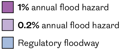
The map below shows zones in the Philadelphia region that FEMA has designated as having a 1% or 0.2% annual chance of flooding. Use the zoom tool and click on the map for more information, or use the search box on the upper right of the map to find flood zones near you.